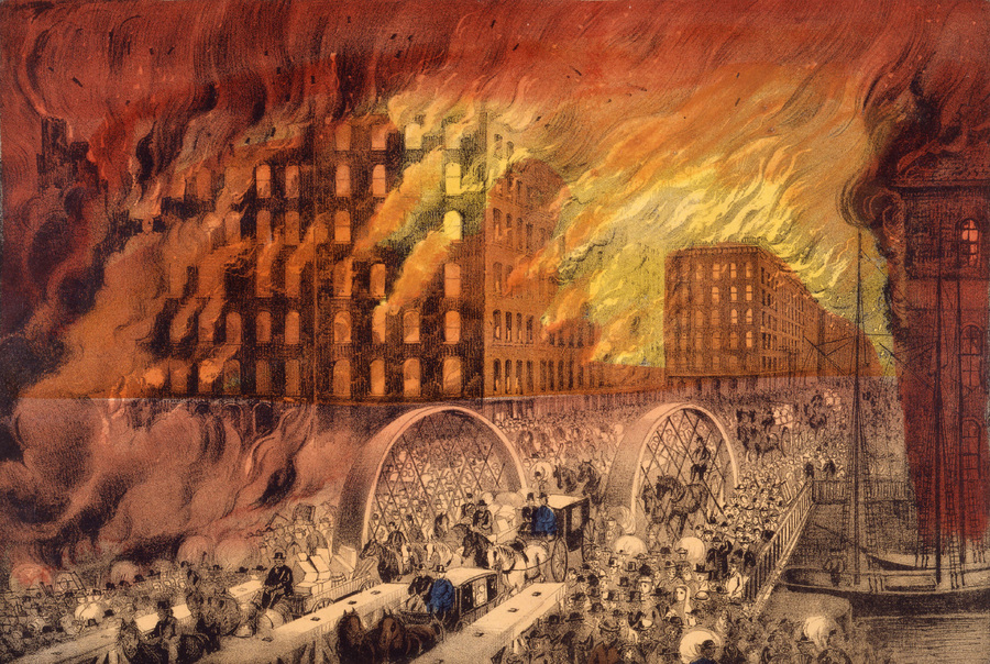
On October 8th, 1871, a massive fire erupted in Chicago's Old Town district eventually consumed and destroyed most of the city's downtown area. By the end of the fire approximately 300 people lost their lives and over 100,000 were left homeless. Despite this disaster commonly being attributed to Mrs. O'Leary's cow, the exact cause of the fire remains unknown.
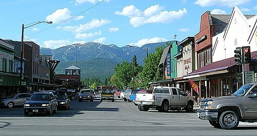
Whitefish Montana used to fondly be known as "Stumptown". It is such a densely wooded area and the timber industry played a crucial role in the development of the town. The loggers came and crudely chopped down acres and acres of timber, leaving stumps scattered all across the town. The stumps were left in the streets causing traffic jams and making it hard to expand. The Great Northern Railway was built right through the heart of Whitefish in 1904 which created an even greater need for timber to be cleared. The railroad and the logging industries kept the town afloat and aided in a robust economy that is directly dependent on what seems like a never ending resource.
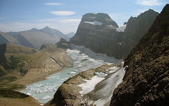
Grinnell Glacier is one of the peak glaciers of Glacier National Park, also known as the Crown of the Continent. It was named after conservationist George Bird Grinnell. The park used to have over 150 active glaciers in 1850, now only 25 are recognized as "active" and Grinnell is one of those. Between 1966 and 2005 Grinnell Glacier lost over 40% of its area, climate scientists suggest that by 2030, there will be no actual Glaciers left in Glacier National Park. A Glacier must be at least 25 acres in area to be recognized as a Glacier and not just a "snowfield".
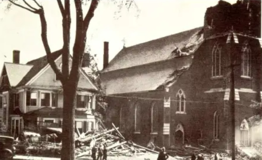
On September 21st, 1938, a tropical cyclone swept across New England. It hit land as a category 3 hurricane with winds hitting peak intensity at 120 mph. The storm tore through Marlboro, ripping the top of the steeple and many other building roofs. As a result of the hurricane, Marlborough was placed under martial law to ensure against looting. As seen in the photo - the Immaculate Conception Church, still to this day, never had its steeples grand height or its four clocks restored.
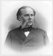
Samuel Boyd is referred to as “the father of Marlboro.” He had the most significant impact, from 1834 to 1890, on shaping Marlboro into the city it is today. He was a pioneer shoe manufacturer and banker among many other accomplishments.
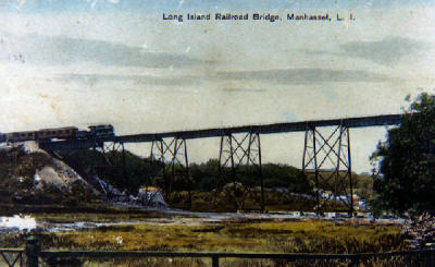
The MVB was constructed in the last decade of the 19th century connecting Great Neck to Port Washington and Manhasset, two suburbs to the east. The Carnegie Steel Company was originally contracted to complete the job of building a trestle across the marsh dividing the suburbs. The bridge is over 600 feet long and 80 feet high.
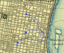
Local tanneries and other businesses in what is now Southeast Center City were dumping waste into Dock Creek, polluting its waters. As a result, the creek smelled terrible, surrounding property values dropped, disease spread and firefighting was inhibited. People living in the neighborhood, including Benjamin Franklin, petitioned the Pennsylvania Assembly to forbid businesses from dumping in the creek. This lead to an early victory for public rights over private ones, but it proved to be symbolic. Business continued to dump waste in the creek until it was eventually covered over. Today, what used to be Dock Creek is now a part of the Philadelphia sewage system.
Built around the year 1700, the Saddle Rock Grist Mill was used to grind corn and wheat grown by farms in the Great Neck area. The mill, built along the water, was also used as a dock for ships. Today, it is the only tidal mill (meaning it is powered by the rise and fall of the tide) left in Nassau County, although it is long out of operation.
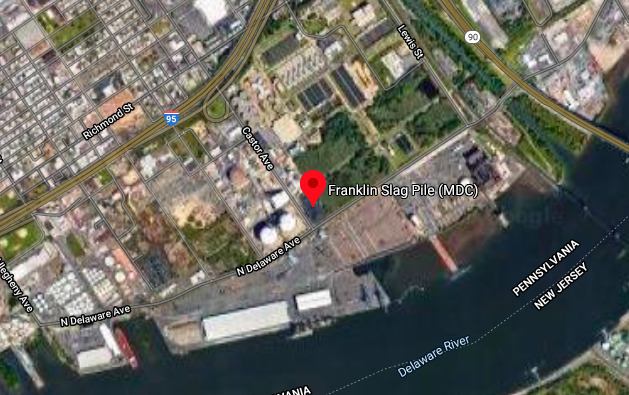
MDC Industries, a company based in the Port Richmond neighborhood of Philadelphia sold copper slag as a sandblasting material until it ceased operations in 1999. After MDC closed down, it abandoned a pile of slag measuring 68,000 cubic feet at the intersection of Castor and Delaware. This slag was found to migrate off the lot into surrounding areas and runoff ran into storm drains. Measurements from the EPA determined that the slag contained "leachable concentrations of lead up to 36,900 micrograms per liter," and it was observed that the pile was releasing lead into the air as well. The pile is about 1/4 mile from the Delaware river, 1/4 mile from a densely populated residential area, and it directly borders a water treatment plant. In the zipcode which contains the pile, 1 in 3 people live beneath the poverty line. In the neighborhoods closest to the pile, up to 60% of children live in poverty. These neighborhoods are mostly white and Latinx. The pile was capped in 2002, but no further actions have been taken by the EPA.
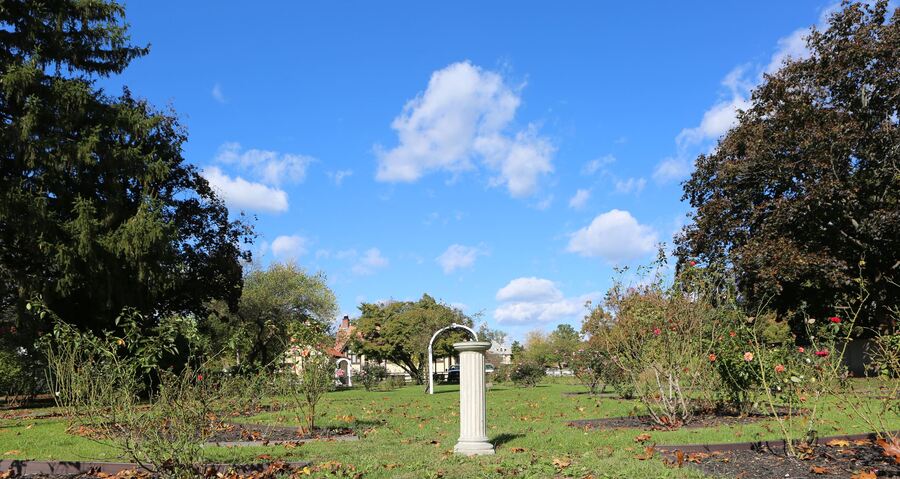
The Village Green was constructed in the early 20th century when Louise Eldridge set aside five acres of her estate for a village green. While many greens are meant for grazing, Eldridge solicited help from Beatrix Jones Farrand, an American landscape gardener and architect. The green remains a public park for Great Neck's residents today.
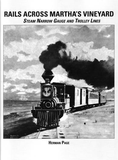
In the summer of 1874, the Martha's Vineyard Railroad was opened to provide passenger travel across the island. Facing a financial crisis in 1873, the railroad was envisioned to bring visitors from the popular tourist town of Oak Bluffs to the old whaling town of Edgartown. Although environmental concerns were raised by residents, the railroad was pushed through and hastily built. Constructed over miles of pristine beaches and water, the railroad destroyed large tracts of wildlife and encroached on the existing ecosystem. The railroad lost in popularity to a horse-drawn trolley line, and was shut down permanently in 1895.
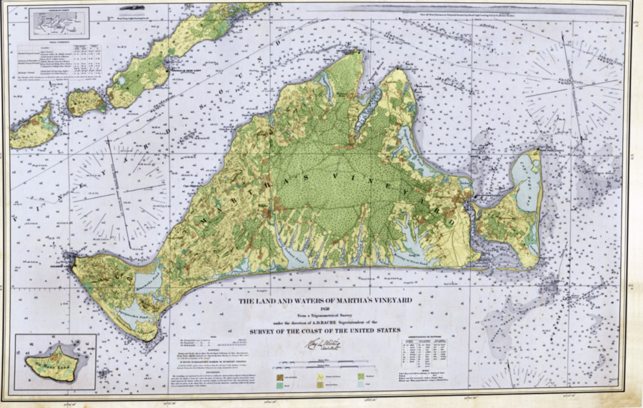
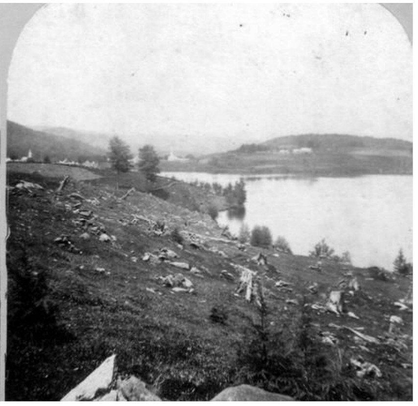
By 1850, a substantial amount of Europeans had permanently settled on Martha's Vineyard. Like in much of New England, little thought was given by the settlers as to the long term health of the land. Aiming to maximize cranberry production, water power, grazing area, and obtain needed firewood, masses of the island's forests were chopped down. Although a decline in human activity would eventually allow for a partial rebound, the once abundant forests have yet to come close to returning to their former glory.
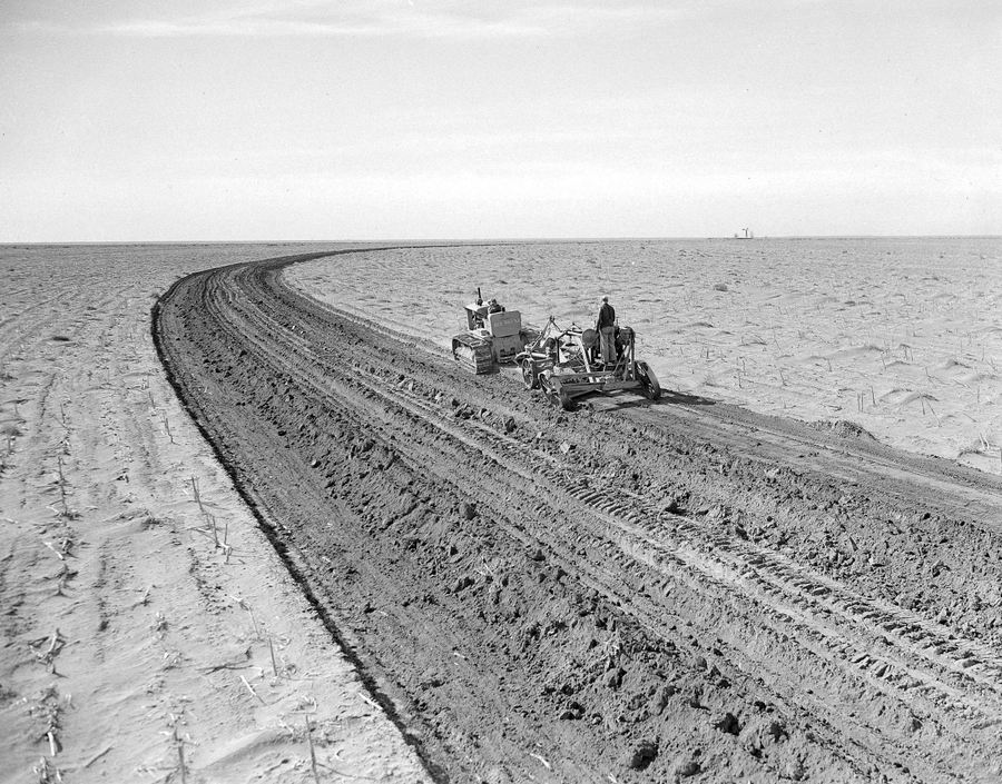
When the Dust Bowl hit the midwest in the 1930s, the semi-arid region of Douglas County was also affected, although not as severely as other parts of Colorado. Native grasses usually kept the topsoil in place, but with an increase in agriculture, the soil was no longer secured to the ground. With a lack of precipitation, droughts intensified, and high winds were able to pick up the topsoil, causing destruction and health hazards. This led the federal government to push for soil conservation.
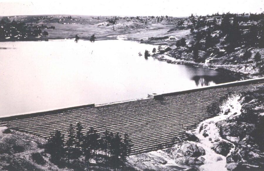
In 1890, the Castlewood Canyon Dam was constructed in an effort to help irrigate farms in Douglas County. In 1933, the dam broke, causing floodwater to reach Denver. The Denver Flood Control Association was organized by business owners who were affected by the flooding to get the federal government to construct a better flood-control system for Cherry Creek.
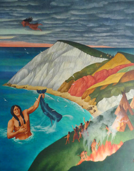
In 1602, an English explorer by the name of Bartholomew Gosnold began an exploration of the islands off of Cape Cod (which he discovered and named). Searching for valuable resources, with his crew of 32 men aboard their boat the Concord, Gosnold came upon the island that he would name "Martha's Vineyard," after his mother. Already inhabited by Native Americans who called the island "Noepe" (which translates to "amid the waters,") Gosnold's discovery marked the beginning of the island's exploitation. As Europeans began to settle the island, what once was an abundance of natural resources began to dwindle and the thriving Native populations were pushed to the island's outskirts.
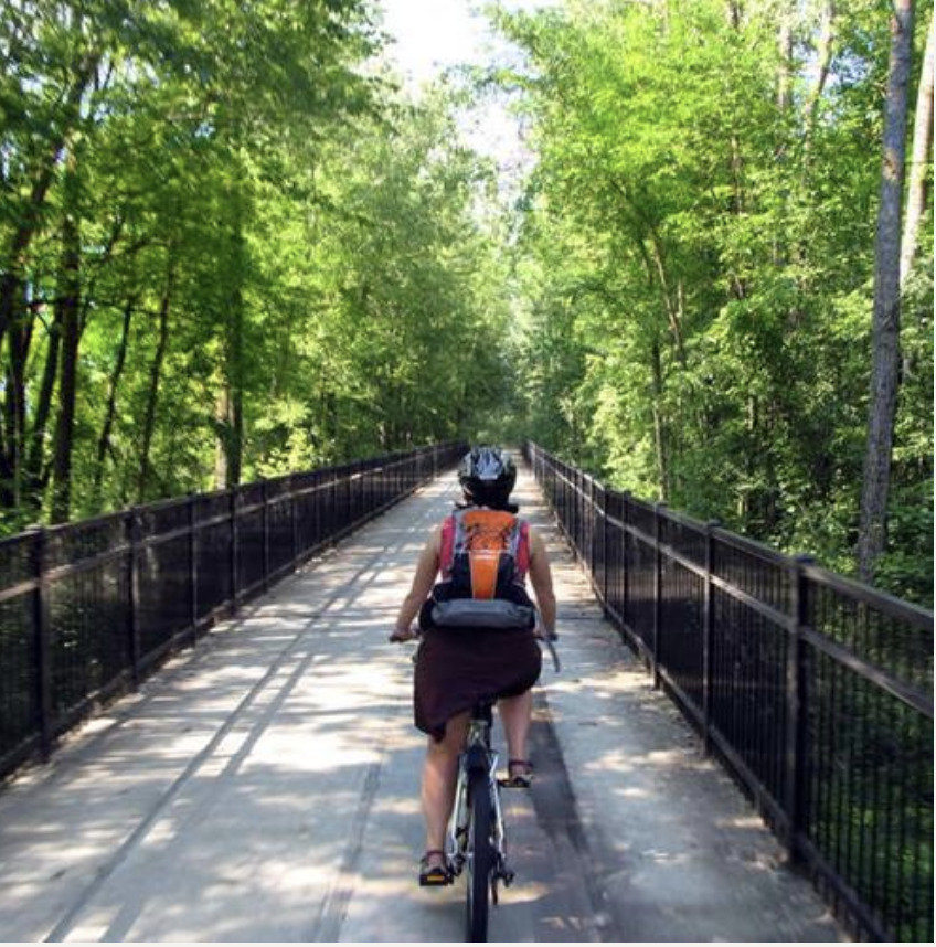
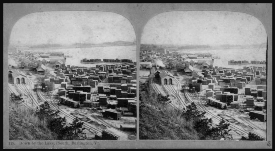
The first portion of the Burlington Bike Path was completed in 1986 along the Burlington waterfront. The path has since been expanded and is one of the main attractions of Burlington still today, and this first step in 1986 was critically important.
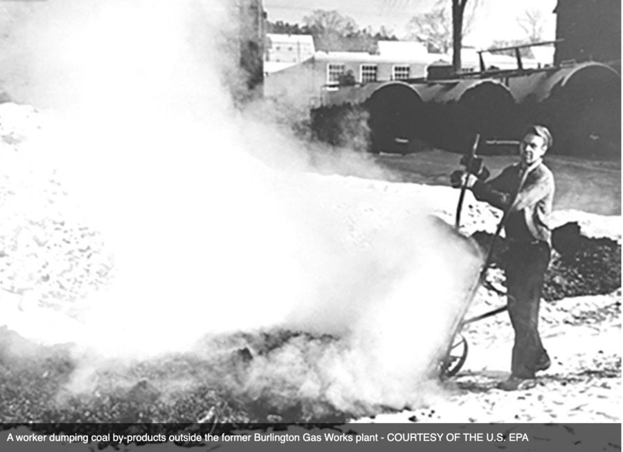
In Burlington in 1981, the EPA declared a former barge canal to be a Superfund site. This fit into the political climate at the time, where residents in Burlington were starting to become more aware of environmental issues and started pressuring the city to clean up the water front.
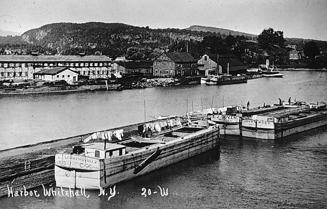
In Burlington in 1823, the Champlain Canal opened, which opened trade to NYC, allowing Burlington to expand into the bustling trade port it was during the 1800s.
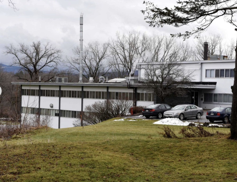
After serious water contamination, the EPA announced that the location officially be added to the superfund list. The New York State Department of Environmental Conservation (NYSDEC) would take the lead on cleaning up the site.
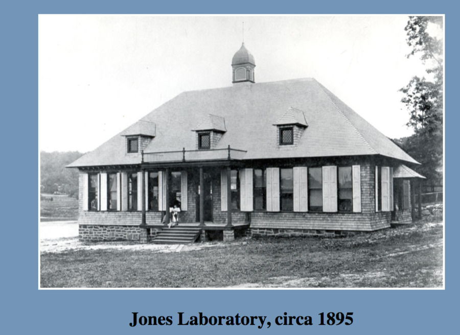
The Brooklyn Biological Laboratory would originally host summer courses at the fish hatchery in Cold Spring Harbor during the late 18th century. But in 1893 the Jones Laboratory became the first building of the Cold Spring Harbor Laboratories and was created to host the Brooklyn Biological Laboratories summer biological science courses for students from the most prominent families in the state. The Cold Spring Harbor Laboratories are now one of the most famous laboratories in the world, and is best known for being the home of DNA, because it is where James Watson discovered DNA in 1953.
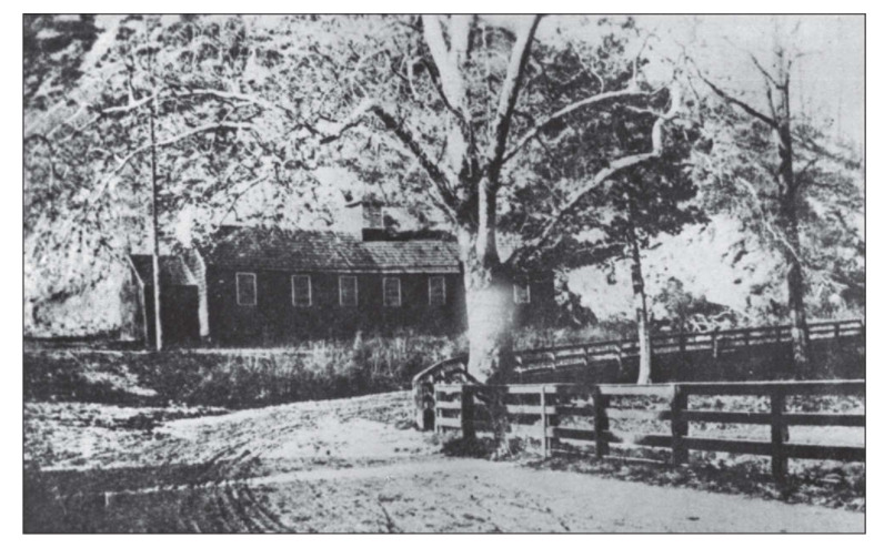
In 1790 construction on a one class-room school, which would be named Bungtown School, was constructed. This school was the first public school in Cold Spring Harbor and became known as a “Nursery of Sea Captains” as many of the students that attended this school would go on to pursue careers in the booming Cold Spring Harbor whaling industry. On April 23rd, 1790 George Washington passed through Cold Spring Harbor during the construction of Bungtown School, and is known to have helped raise one the buildings rafters, as well as leaving $1 for the workers.
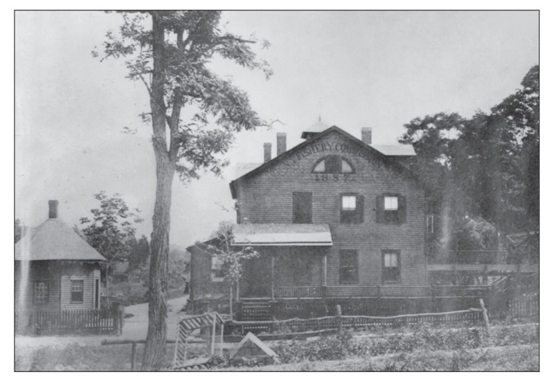
In 1883 New York State created the Trout Hatchery in Cold Spring Harbor. The Hatchery used the natural springs of Cold Spring Harbor in order to bring in freshwater that gave the fish oxygen to survive. The Hatchery was created by the State in order to raise fish that they would later use to fill the Harbor, but served a second purpose as a tourist destination, which it still is to this day.