-
Title
-
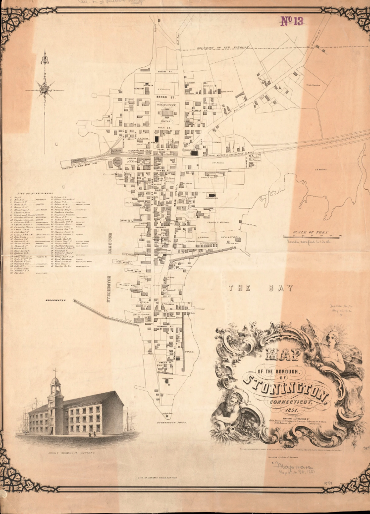
A Map of Stonington Featuring the New Railroad Line
-
Description
-
With the completion in 1837 of the Providence and Stonington Railroad and access to coal-fired steamship service provided by the Boston and New York Transportation Company, the Borough became a major hub for people traveling between New York and Boston. It was bustling with activity, hotels, bars and shops. Entering through what is now known as Salt Acres, the rail line ran along Denison Avenue heading west, squeezing between homes and businesses. The end of the line was the New York Steam-Boat Pier and Depot, now the site of the current Town Dock. By 1890, the railroad was built to span the Connecticut and Thames Rivers and connect, which eliminated the need for a steamboat connection.
-
Date
-
1851 – 1851
-
Location - Physical Location
-
Stonington Borough, Stonington Connecticut
-
Name
-
Calden Bates
-
cites
-
Norman B. Leventhal Map & Education Center at the Boston Public Library