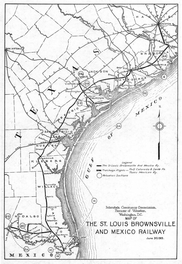
Completed in 1904, the St. Louis, Brownsville, and Mexico Railroad introduced Northern settlers to the tropical, fertile, deltaic lands. The creation of the railroad drastically impacted the population numbers of South Texas. In 1920, the population of Cameron County, the county encompassing Brownsville, was 36,662; by 1930, 77,540, an increase of 111.5%.
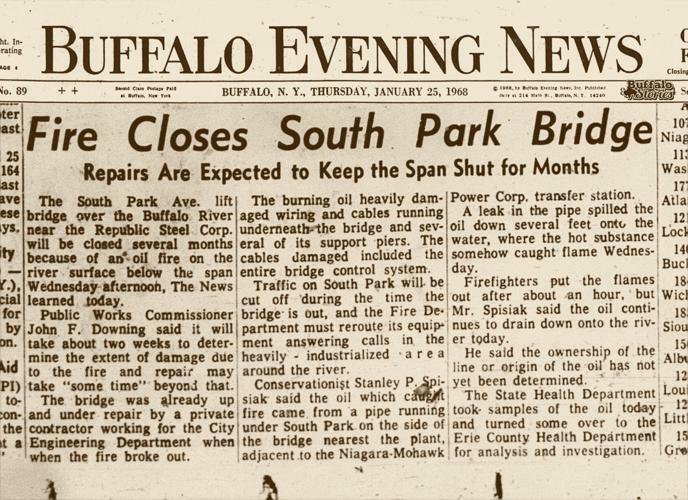
In January of 1968, the Buffalo River caught fire. The river was so polluted, with oil coating the surface, that sparks from a welder's torch set the river on fire. The event set the stage for the river to be deemed an Area of Concern, but it did not garner much national attention and the pollution itself was an accepted fact of Buffalo life.
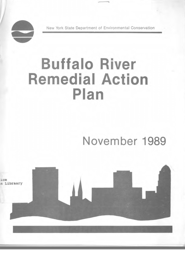
The Buffalo River Remedial Action Plan (RAP) was implemented after the Water Quality Board of the International Joint Commission deemed the Buffalo River an Area of Concern. The plan was made to address the major contamination of the river and implement solutions to increase water quality and aquatic life in the river. The RAP was developed by a commission of citizens and the NYSDEC.
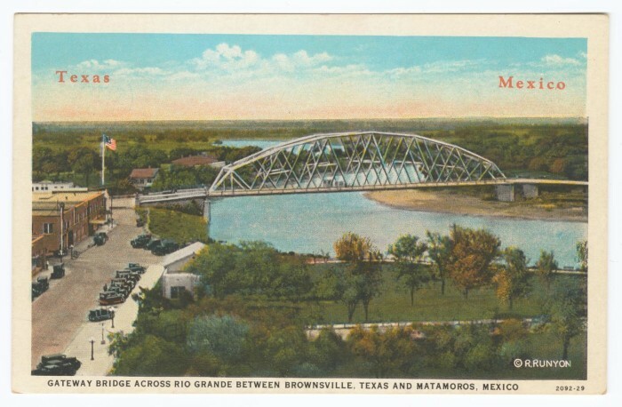
Opened in 1926, the Gateway International Bridge unites Brownsville with its Mexican twin city Matamoros. The Gateway International Bridge serves all commercial/private vehicles and pedestrians. It's operational 24/7, and is responsible for 80% of pedestrian traffic traveling from Brownsville to Matamoros. The Gateway International Bridge processes around 90,000 vehicles monthly. This means that thousands of cars sit in idle, with their engine running/emitting fumes, while they queue to cross. The border/customs officers shoulder an exposure burden from air pollutants released by vehicles.
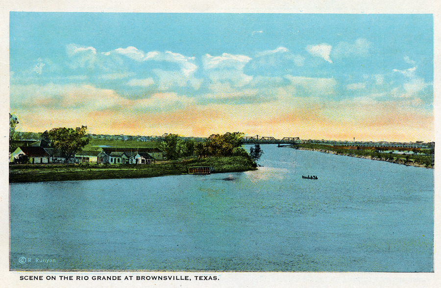
First crossed by Spanish settlers in 1530. Spanish settlers granted land grants to families, so they could harvest/settle land in the Rio Grande Valley. After the Treaty of Guadalupe Hidalgo in 1848, the Rio Grande River became the border dividing Texas and Mexico. The Rio Grande River has been crucial for the agriculture community in South Texas. Farmers utilize the water from the Rio Grande to grow sugarcane, cotton, and vegetables. The Rio Grande has been running dry, the reservoirs have hit record lows and water levels hover at around 20%.
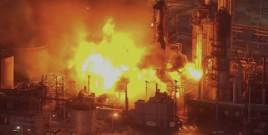
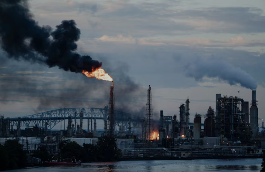
The Philadelphia Energy Solutions refinery had a massive explosion in June of 2019. Early in the morning, a pipe in a hydrofluoric acid unit basically gave out because it was super corroded, which caused a massive "vapor cloud" that caught on fire. One of the blasts was so strong that a 38,000 pound piece of equipment flew across the Schuylkyll river. The fire burned tons of hydrocarbons and released over 5,000 pounds of hydrofluoric acid into the atmosphere, which is extremely dangerous to breathe in. 5 works were hurt, and the fire was put out the next morning. On June 26, 2019 PES announced that the refinery would be shutting down, and on June 27th they filed for bankruptcy.
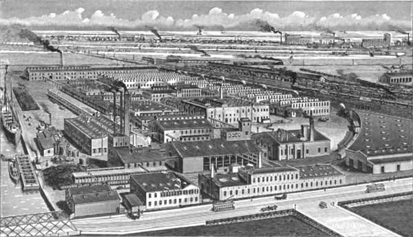
Allied Chemical and Dye Corporation was the largest dye plant in the United States. It formed in 1920 from a merger of other chemical companies. The corporation was a major chemical manufacturer located along the Buffalo River. It was one of the chemical industries that polluted the river through direct liquid waste disposal and toxic sludge runoff.
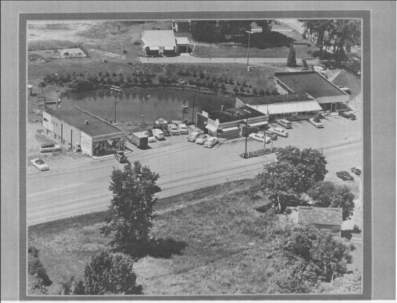
As America became more dependent on cars and the travel between cities increased, Burnt Hills shifted its center to where cars from the bigger cities would pass through. The intersection of Route 50 and Lakehill Road is now the center of Burnt Hills, although it wasn’t until the 1930s that Route 50 was constructed as a faster way to get to and from Schenectady and Saratoga. In 1950, the Burnt Hills Fire Department moved its building from the intersection of the Lakehill and Kingsley roads onto Route 50. Several businesses followed suit.
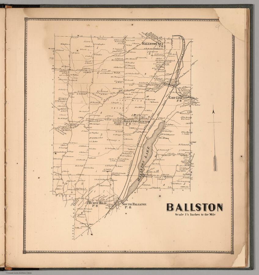
This 1866 map depicts Ballston, New York as well as Burnt Hills and Ballston Spa. In the century since the McDonald’s brothers settled on the shores of Ballston Lake, the town has grown significantly. Roads cut back and forth across the land and the homes of residents and some businesses are clearly marked. There is even a railroad between Schenectady and Saratoga present along the edge of the lake. Many of these roads are still in use today, but at this point there are still far less of them than will appear in the coming decades.
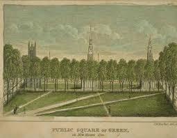
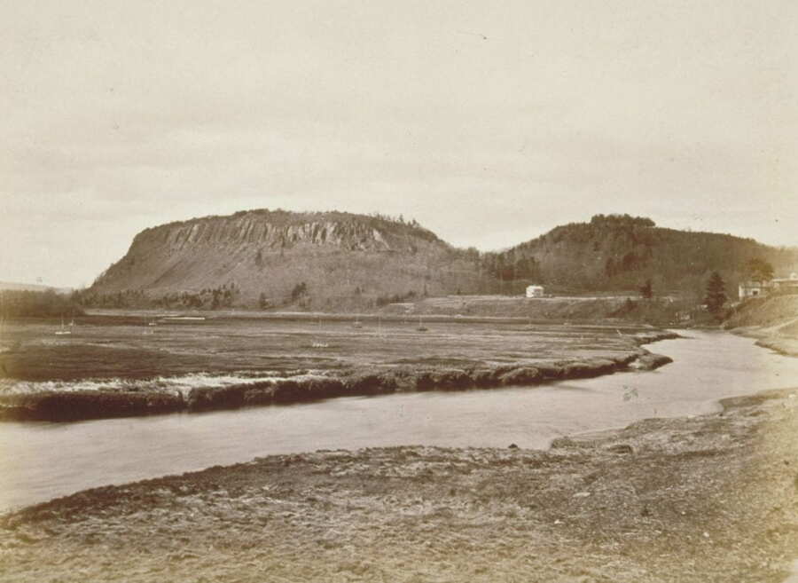
Dutch explorer Adriaen Block made a pitstop in New Haven while sailing through the Quinnipiac River, which he nicknamed the "River of Royenberch,” meaning “red rock,” referring to East Rock and West Rock
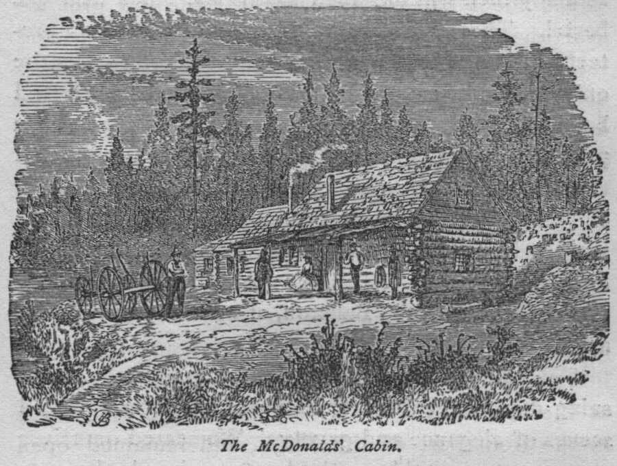
Michael and Nicholas McDonald were the first Euro American settlers in what is now Ballston. After moving out of Schenectady, the two brothers squatted in 1763 on the site of this log cabin near the edge of Ballston Lake before later obtaining a deed. On their way to the lake, the brothers came across the site of a recent prescribed burn by Native Americans and decided to call the area "Burnt Hills".
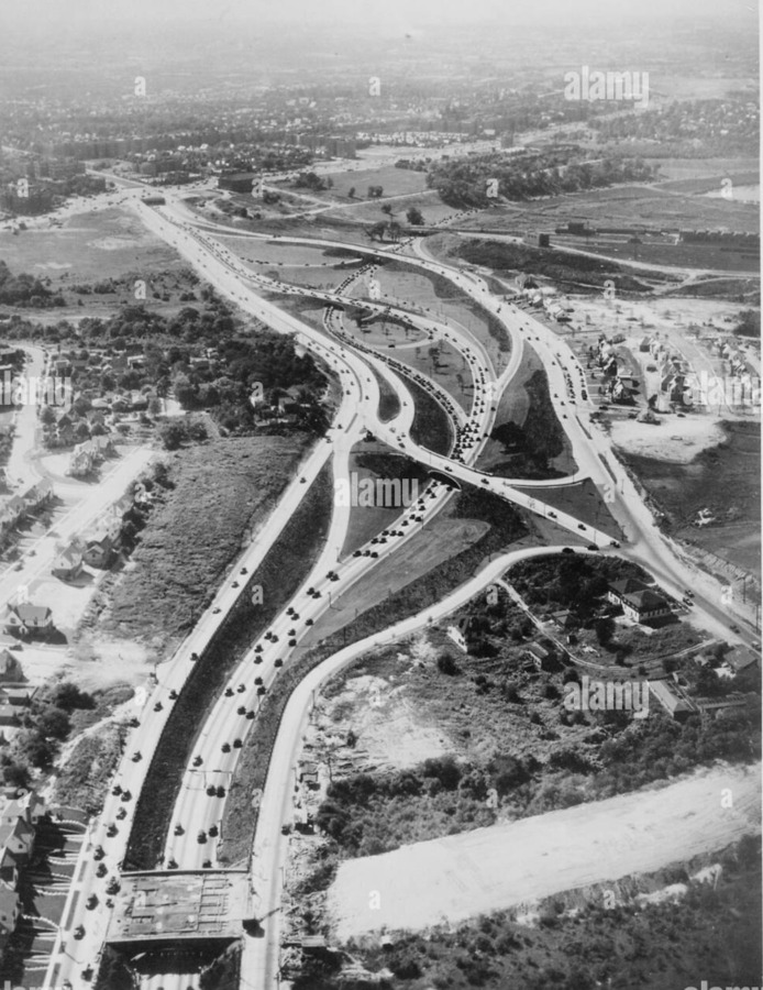
The highway system was an innovation that allowed for a more simplistic travel for people. The increase in personal vehicles lead to people wanting to get to their destinations significantly faster.
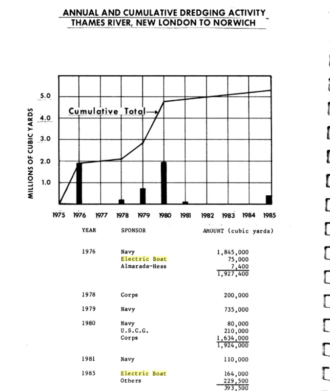
The Thames River has a muddy and relatively shallow bottom. For larger oceangoing vessels to travel into the Thames, making the river deeper is needed. However, dredging operations are harmful to the clam population and can disturb sediment layers which are holding pollutants.
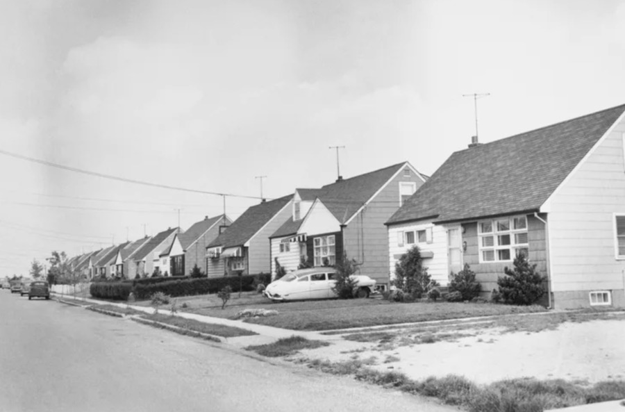
Levittown was one of the first development of the suburbs. The houses were densely packed and had lawns, which at the time was advertised as the American dream post world war two.
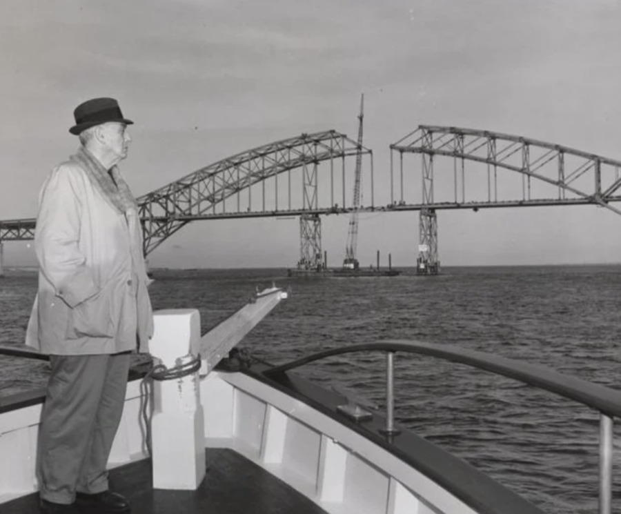
Robert Moses developed a bridge system due to the increase in sububurbian life on long island and personal automotive vehicles. People wanted to be able to be able to get to the beach the cheapest and easiest way.
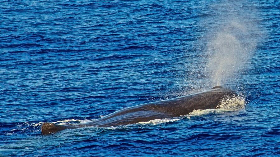
Captain Hussey from Nantucket was blown out to sea in a storm and found himself in a school of Sperm Whales. He ordered his crew to kill one of the whales. After doing this, the Captain tried the Sperm Whale's oil and noted its high quality.
The South Philly refinery affected the health of people living nearby. The report says the refinery was basically the biggest source of a ton of harmful air pollution in the entire city sulfur dioxide, and VOCs such as benzene. All of that stuff is bad for your lungs, and research from other refinery communities shows more asthma attacks, more kids wheezing, and worse lung function overall. Even though no one did a full health study just on the South Philly neighborhoods, the same types of pollutants were coming from this refinery, which makes the health risks pretty obvious. People living close to the plant also had to deal with stress from constant leaks, equipment problems, and sketchy monitoring systems that didn’t always work. The refinery had a ton of incidents where it went over legal emission limits, and residents weren’t always told everything. Then in 2019 the huge explosion released over 5,000 pounds of hydrofluoric acid, which is very dangerous. They still don’t know how that affected people long term, but it shows how risky it was for anyone living near it.
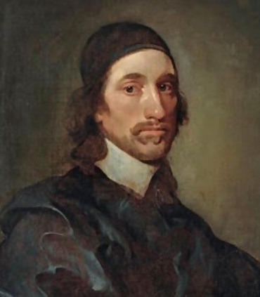
John Winthrop started a settlement on the West bank of the Thames River and established a harbor. The Thames was protected by Fisher's Island. The river's muddy bottom allowed for easy anchoring for ships.
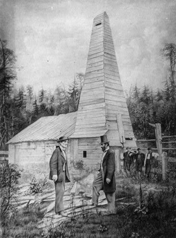
Philly became one of the main places for storing and refining oil in the late 19th century. Once Edwin Drake struck oil in western Pennsylvania in 1859, the industry blew up fast and companies needed somewhere bigger to refine and ship everything. Philly was the perfect spot for that because it already had a major port and many railroad connections, and open space along the Schuylkill and Delaware rivers. By the 1860s and 1870s, the city had multiple oil storage sites and refineries spread around. After multiple fires and accidents, companies moved their operations farther south, which is how spots Point Breeze and Girard Point became long term refinery hubs. All of this early infrastructure ended up shaping how South Philly looks today and also played a huge role in how the city grew around the oil industry.
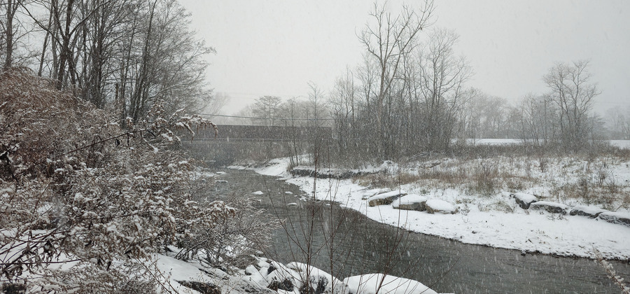
The construction of the Sauquoit Valley Arterial solved one 19th-century problem, chemical pollution from the mills, by creating a new 21st-century one. As seen in this photograph, the creek was physically re-engineered, forced into an unnaturally "straight" channel to make room for the highway. This alteration, which destroyed the original, winding path of the creek, is the direct cause of severe, chronic flooding. The May 15, 2023, Upper Sauquoit Creek Flood Study by Ramboll was commissioned to diagnose and find solutions for this exact flooding. This modern engineering report confirms that today's "natural disasters" in this area are, in fact, the direct, man-made legacy of the NY 8's 1969 construction.
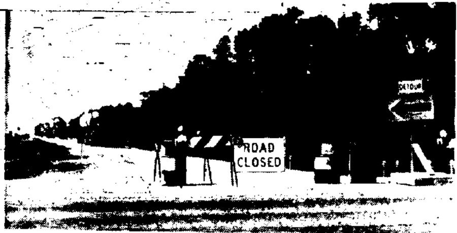
This newspaper clipping from the Utica Daily Press on July 18, 1969, announces the August 6 opening of the Sauquoit Valley Arterial. This massive, four-lane highway was celebrated as a 20th-century solution to replace the "blight" of the defunct 19th-century industrial corridor. Planning documents confirm this project was a "great erasure," as the new road was built directly over the demolished foundations of the A.T. Stewart Woolen Mill and the abandoned DL&W railroad tracks. During this construction, the Sauquoit Creek itself was fundamentally re-engineered by being straightened into an artificial channel. This project completed the violent transformation of the hamlet's landscape, permanently burying the industrial past under a new layer of modern, automobile-centric infrastructure.
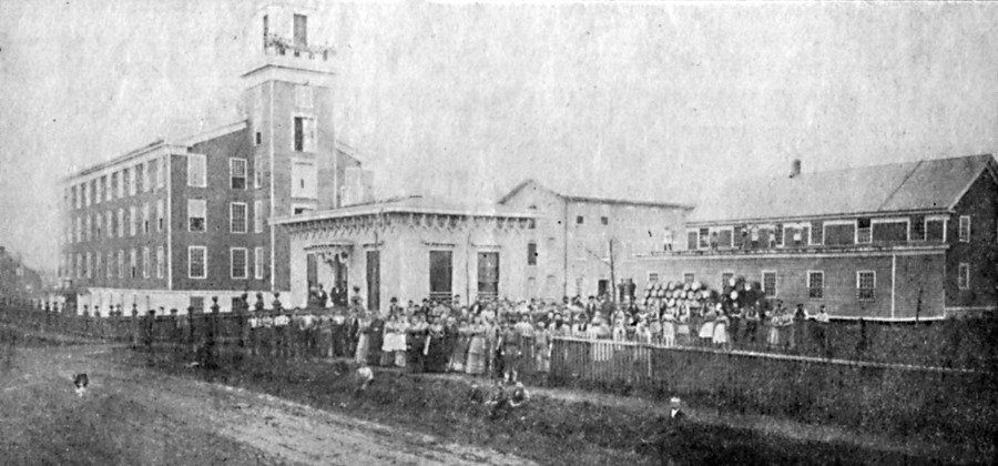
The A.T. Stewart Woolen Mill, which operated from 1840 to 1879, was the primary 19th-century industrial anchor of the hamlet of Washington Mills. Originally built by Frederick Hollister, and later acquired by retail magnate A.T. Stewart, this massive stone factory was the "mill" that, along with the nearby Union Fork and Hoe factory, formed the industrial cluster that gave the hamlet its name. As a textile factory, it was the economic engine of the community, employing a large portion of the population to produce woolen goods. Its entire operation was dictated by the Sauquoit Creek, which it first harnessed with dams and millraces to power its machinery. As the mill shifted to steam and coal, the creek then became its industrial sewer, carrying away a toxic cocktail of chemical dyes, lye, and other manufacturing waste.