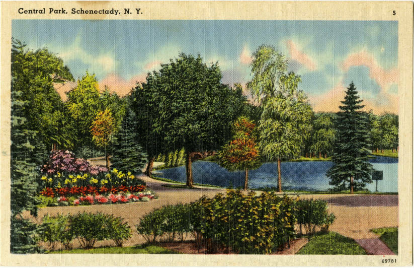
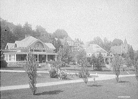
This is another view of the Central Park lake, however this one has the addition of floral bushes along with numerous trees and greenery. This is a vastly different view which probably existed back when the park was first being used in the 1900s. Modern day there isn't so much of that left, on these trails/roads its mainly just the trees and lawns that are visible. For those who would want to see floral bushes then they would need to go to the Rose Garden to see large areas of flowers.
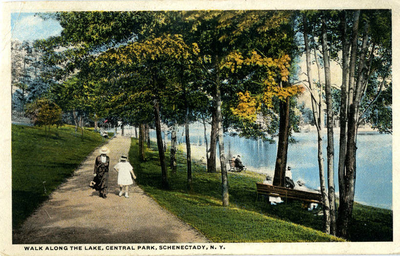
This is back when there were solid trails besides the large lake in Central Park. Nowadays, that trail doesn't so much exist it's more of just a gravel filled road that cars can drive on as they go through the park. People can still walk on it but its mostly just there for the cars. However, that view is almost still the same now just like it was back in the early 1900s.
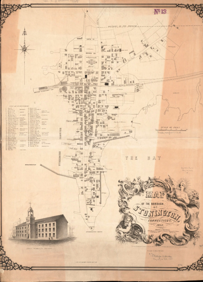
With the completion in 1837 of the Providence and Stonington Railroad and access to coal-fired steamship service provided by the Boston and New York Transportation Company, the Borough became a major hub for people traveling between New York and Boston. It was bustling with activity, hotels, bars and shops. Entering through what is now known as Salt Acres, the rail line ran along Denison Avenue heading west, squeezing between homes and businesses. The end of the line was the New York Steam-Boat Pier and Depot, now the site of the current Town Dock. By 1890, the railroad was built to span the Connecticut and Thames Rivers and connect, which eliminated the need for a steamboat connection.
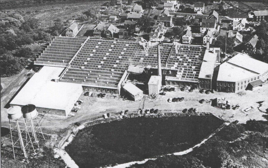
The American Velvet Company opened in 1892 at the height of the Industrial Revolution, transforming a sleepy fishing village into a manufacturing powerhouse. The company enjoyed its heyday in the 1950s when it employed 450 people. By the end of the 20th Century, rising labor and manufacturing costs in New England prompted the company to move its operations to Virginia. The factory closed in 1996; however, the structure itself is a historical monument. There is still a pond behind the mill, which is likely contaminated with runoff from the mills waste dumping.
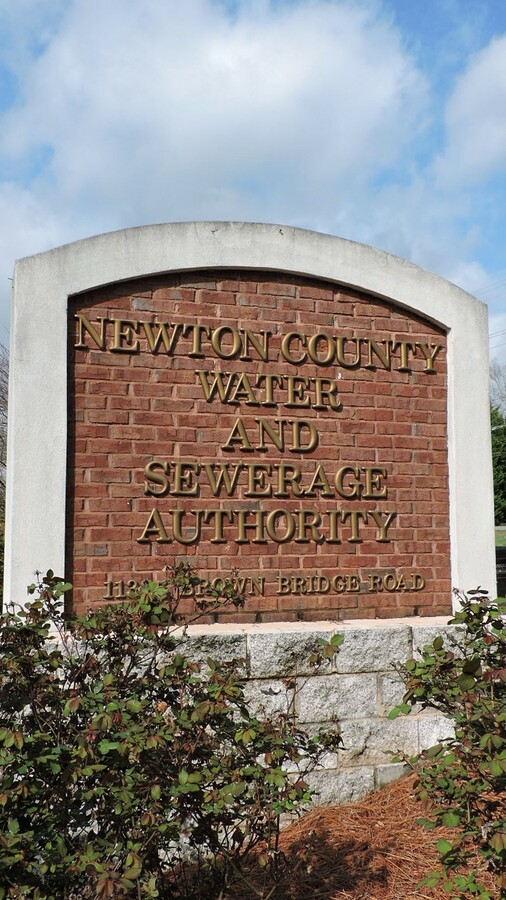
In 2018, Newtown residents went to the Newtown Water and Sewer Authority (WSA) to complain about the decision to install a “sewer system”, since that would encourage development. Originally, under Newtown’s Water Pollution and Control plan, it allowed for the manipulation and reconstruction of the sewer system in Sandy Hook, but an LLC, located at 79 Church Hill Road, objected to the proposed draft. This was because there were several illegalities involved in the fact that the WSA had to power to use the sewer districts, maps, formulas, regulations, or their capacity to control land use or zoning. The proposed expansion would put the Wastewater Treatment Plant over the capacity it can handle. Due to all of these reasons, the draft was objected to by 79 Church Hill Road, LLC.
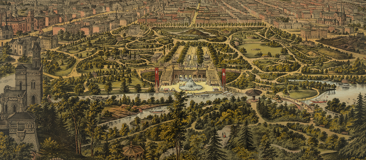
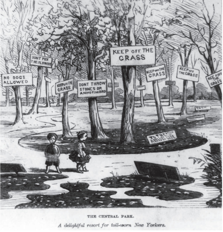
Central Park's early rules controlled the way New Yorkers and visitors interacted with the park in order to promote peace and meditation. Some regulations consisted of banning music, sports activities, swimming, and picnics, which is opposite to what Central Park is today. They were inspired by Victorian nature tourists, who valued the appreciation of nature while not trying to integrate themselves through active use. This ultimately led to class and social distribution, where the working-class New Yorkers were judged for their use of the park. They turned the space into a lively communal place, which the creators of the park found unfamiliar.
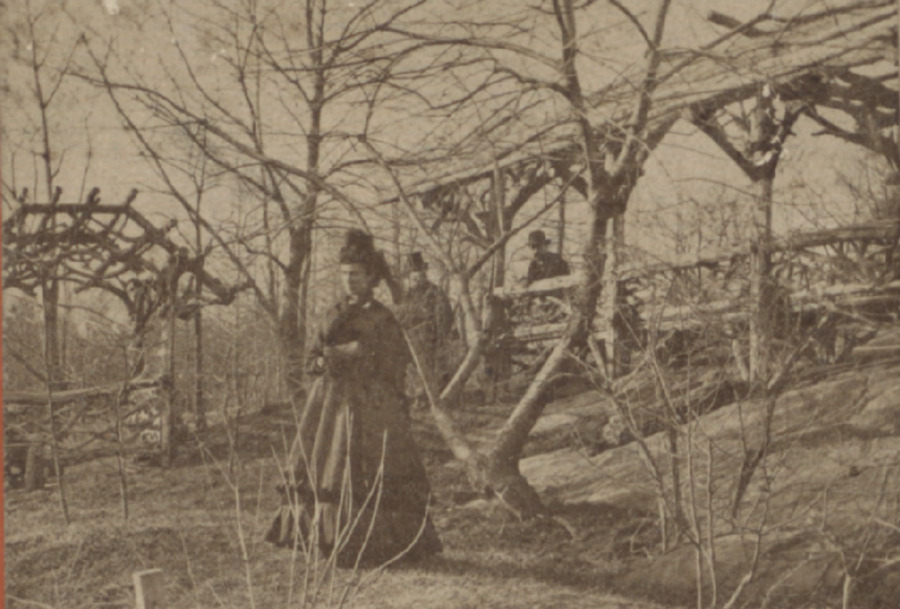
The Ramble in New York’s Central Park was designed by Fredrick Law Olmsted and Calvert Vaux, with a goal to give the park a natural and wild appearance. It was built on uneven terrain, aimed to allow people to escape from the commotion of the city. The ramble is laid on in a very intricate way, forcing people to wander and discover new, mysterious paths. Before the creation of the park, this land was home to the Seneca Village, which was displaced when the park was being developed. The community was predominantly American and Irish immigrants, making it a place where they could escape from the discrimination of downtown New York.
After nearly a century of regulated timber harvest, the Forest Society decided to declare 2,786 acres as "Natural Areas", rendering them safe from all human intervention (besides hiking trails and their management of them). This decision was made as the understanding of the importance of old-growth forests became apparent, and the Forest Society wanted to protect the State Park from future roads and timber harvest, while hoping to create an ecosystem that would be unobstructed.
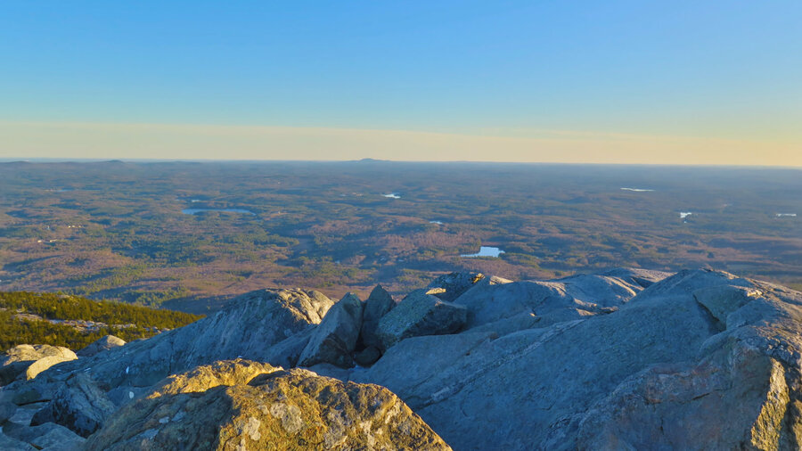
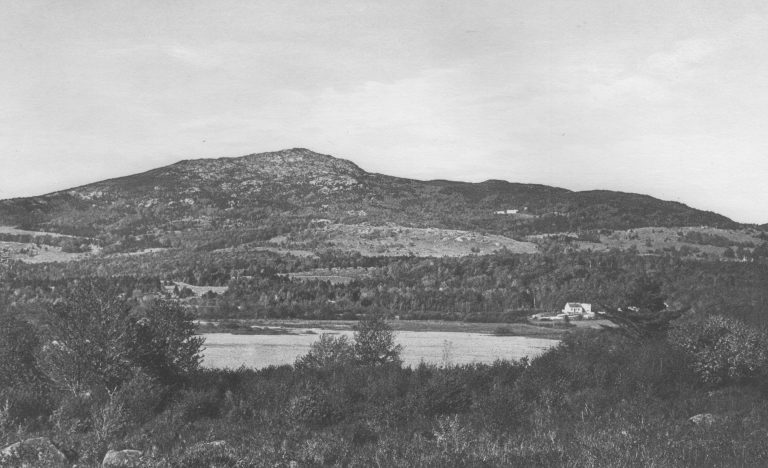
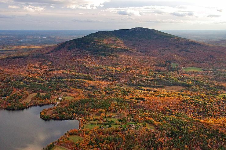
Mount Monadnock, located in Jaffery New Hampshire, stands at 3,166ft above sea level. Native Americans named the mountain Monadnock, meaning "mountain that stands alone." Transcendentalist Henry David Thoreau took four trips up the mountain throughout the mid-19th century. Thoreau wrote in his journal about an account from a man in Peterborough where the mountain top had caught fire, burning all the trees off he peak. In their place, a dense thicket grew, creating a brilliant habitat for wolves to thrive. Farmers in the area saw their livestock being killed off in large numbers by the wolves. In an effort to remove wolves from the area, the farmers set the thicket on fire, burning everything off the peak, wolves and all plants together, thus forming the bald peak at such a low elevation.
The Society for the Protection of New Hampshire Forests sought to protect the White Mountains from the decades of clear-cutting that had been occurring. Their efforts grew rapidly to protect forests across the whole state of New Hampshire. The centuries of unmanaged land on and around Mount Monadnock saw its first protection in 1915, when the Forest Society acquired its first title to 600 acres on the slopes of Monadnock, strictly for protecting the ecosystems on the mountain.
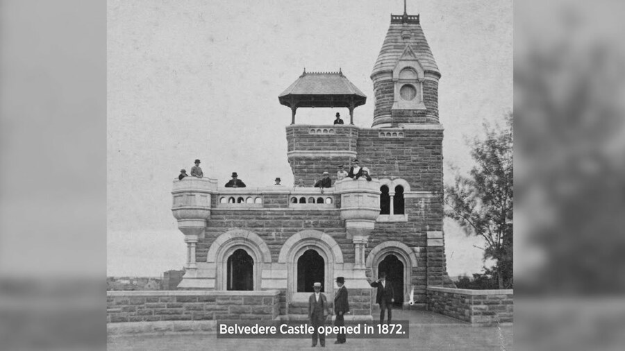
The Belvedere Castle in the center of New York’s Central Park shows the attempt to blend landscapes and architecture together. It was built directly onto the schist of Vista Rock by Calvert Vaux to give the illusion that it is a part of the earth. The name stands for “beautiful view,” showing how it was a form of tourism and escape, allowing the people of New York to leave the chaotic city and observe it from a distance. In 1919, the U.S. Weather Bureau moved its observatory there, and then later shut it down in the 1960s. The castle was left without maintenance until 1983, turning it into what it is today.
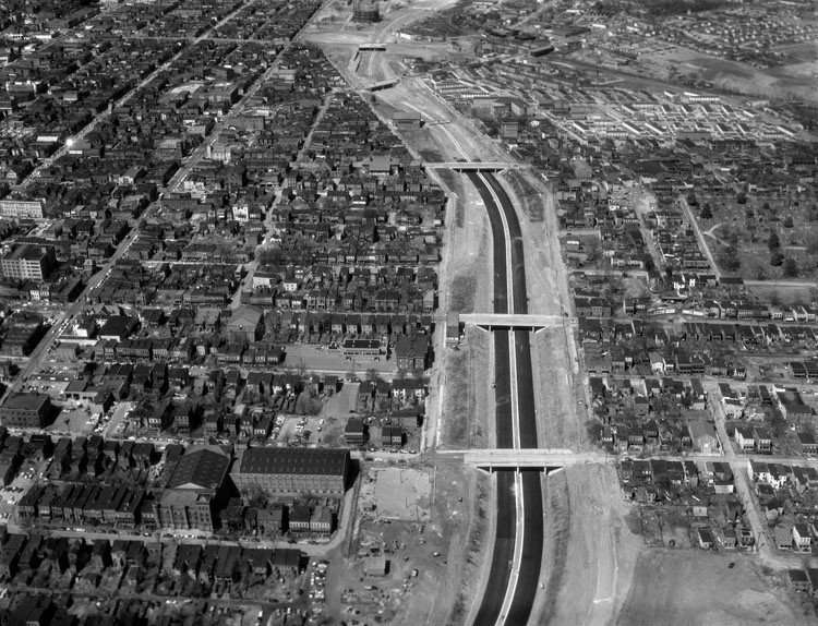
In the 1950s, construction of Interstate 95 through Richmond, Virginia destroyed much of the historically Black neighborhood of Jackson Ward nicknamed "Harlem of the South." Hundreds of homes and businesses were destroyed and the community then ended up divided by the highway. City planners at the time targeted Black neighborhoods while leaving the white neighborhoods untouched. This shows how transportation advancements and suburban growth reshape cities and forced change in communities.
Easthampton's manufacturing industry created substantial traffic for the railroad, and up until the mid 1970s was thriving; but with new environmental laws towards the end of the decade, business started to move out. In 1974, Easthampton was the destination for more than 4,000 cars a year, this went down to 500 by the late 80s. In 1992 the Pioneer Valley Railroad filed for abandonment.
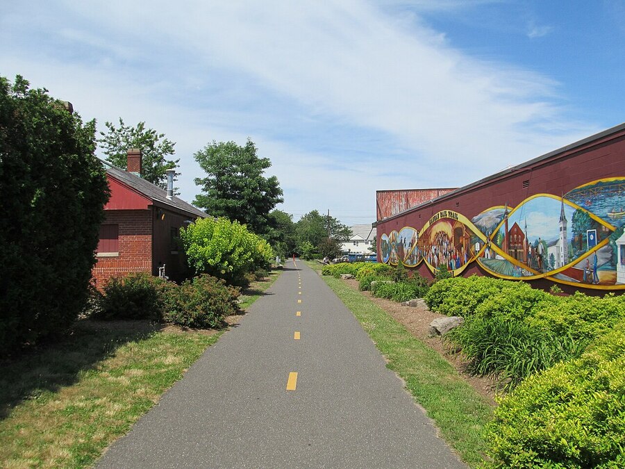
Then in 1994, a plan to change the old tracks into a rail trail began to gain steam, and by 1999, the town had bought the old railway and removed the tracks. Construction took place from 2003 to 2004 when the rail trail officially opened, now serving as a bike path.
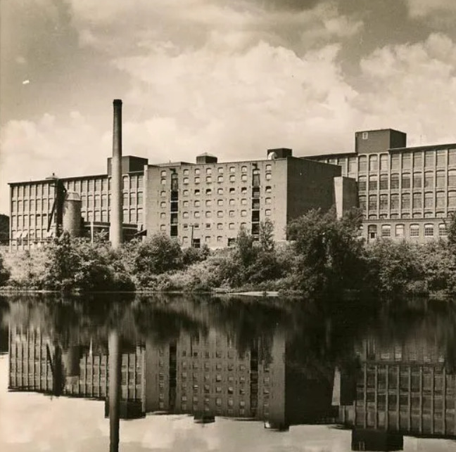
Originally built in 1908 by the West Boylston Manufacturing Company, Eastworks' original purpose was textile manufacturing. The mill changed hands throughout the years, including being owned by General Electric for a time. During WWII, the mill's production was temporarily changed to develop bombs. In 1996, now owned by Stanley Home Products, the mill shut down its operations, and the next year was bought by an Easthampton resident. Nowadays the mill has been repurposed as a space for businesses, arts, apartments, and more
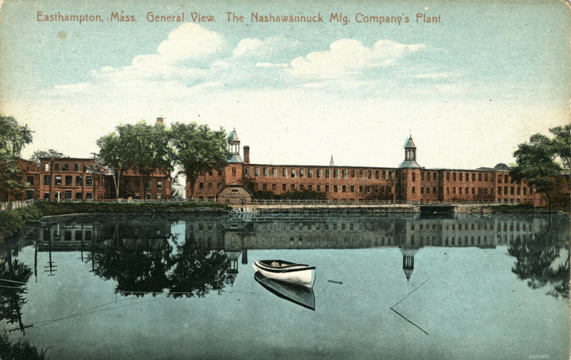
The Williston-Knight Button company created Lower Mill Pond by damming three tributary rivers, the Broad Brook, White Brook and Wilton Brook. This was done to create a water power source to fuel the industrial mills, which were the main driver of economic growth in the town at the time.
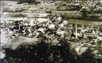
From 1916 to 1955, the Maywood Chemical Company in Maywood and Rochelle Park, New Jersey, processed radioactive thorium waste, which led to serious pollution to the land and the water. The waste left behind created health problems for nearby residents, including higher cancer rates. In 1983, the Environmental Protection Agency (EPA) named the area a Superfund site, meaning it needed major cleanup. The U.S. Army Corps of Engineers and the Stepan Company have worked to remove the contaminated soil and make the land safe again. This shows how industrial growth and chemical pollution can harm the environment and public health.
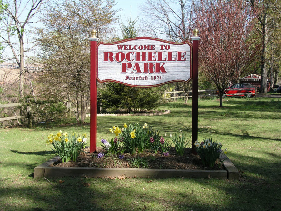
In 1871, MIdland Township was formed in what is now Rochelle Park, New Jersey. At first it was a quiet farming area with dirt roads and small schools. The arrival of railroads and trolleys soon helped to connect it to larger cities such as New York City and Paterson. This made it possible for people to live in the suburbs but travel into cities for work an early example of a commuter lifestyle. As more people moved in farmland was replaced with neighborhoods, roads, and small businesses connecting to environmental history showing how transportation and population changed both the land and the way people lived.
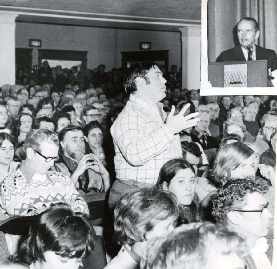
The Adirondack Park Agency (APA) invited the public to comment on the draft of the private land use plan, resulting in over 5,800 attendees across the state. Individuals spoke at the Saranac Lake public hearing to advocate for the statewide importance of the Adirondack Park. Advocates defended backlash, emphasizing that the Sierra Club's New York members are residents, landowners, and users of the Adirondacks, giving them a personal stake in its future and its protection.
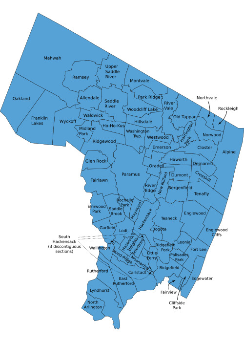
Between 1893 and 1896, people living in Bergen County, New Jersey started breaking away from larger townships to make their own small boroughs. This event was labeled as "Boroughitis." This started due new suburban families who moved near railroad stations wanted better schools, paved roads, and other services. The long time farmers didn't want higher taxes to make those things happen. This movement reflected new patterns in the land was being used and transportation. Farmland turned into neighborhoods and streets, and forest were cleared for new homes. Due to there being so many new towns formed it became harder to plan for things like floods, clean water, and shared green spaces.
The Adirondack Cottage Sanitarium, established in Saranac Lake, was one of the leading centers for tuberculosis research and patient care in the early 20th century. Doctors who were connected with the sanitarium expressed concerns about air quality, and publicly advocated for government regulation over land in the park. Individuals reported an increase in efforts to cure nature of disease.
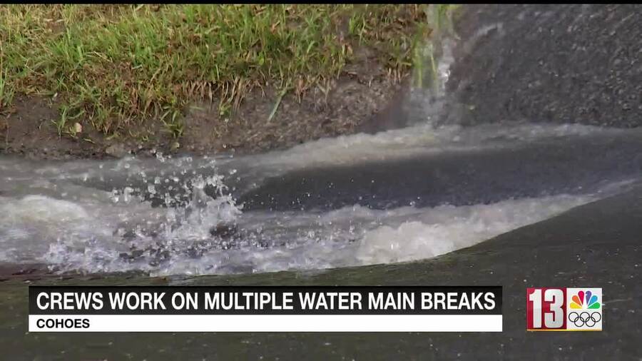
Cohoes has faced many threats when it comes to water quality since the first settlers arrived. From sewage in the Mohawk to leaky pipes, Cohoes has it all. We can see leaky pipes as an enduring issue for Cohoes. In 2025, the city faced around 3-4 pipe breaks a day during the wet spring. It raises the question: what is getting into the pipes, and are the pipes leading to lead and other harmful substances getting into municipal water in Cohoes?
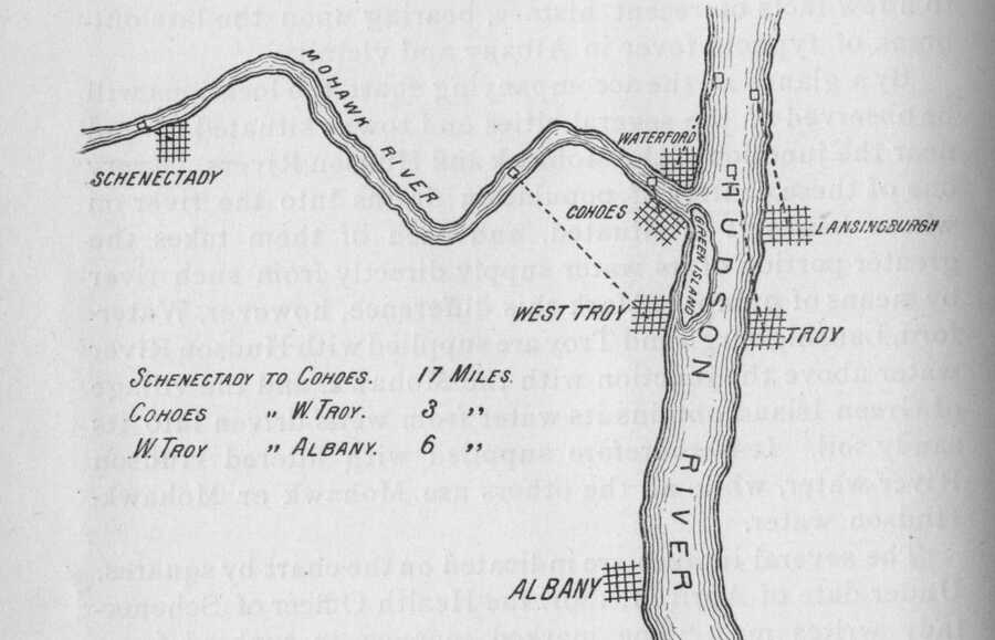
One main disease outbreak that occured in upstate New York was the 1891 Typhoid Epidemic. While this disease mainly spread throughout Schenectady, downstream neighbors were also susceptible due to the flow of the Mohawk River. During this time, sewage flowed directly into the river and downstream to Cohoes, causing a higher amount of cases in Cohoes.
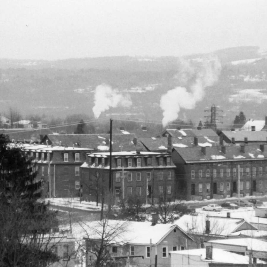
Cohoes was known for its textile manufacturing industry. People from all over the area came to get a job at the Harmony Mills. What many people don't talk about are the emissions from these mills and the pollution that occurred. Although the mills were mostly water powered, coal would still be used on occasion.
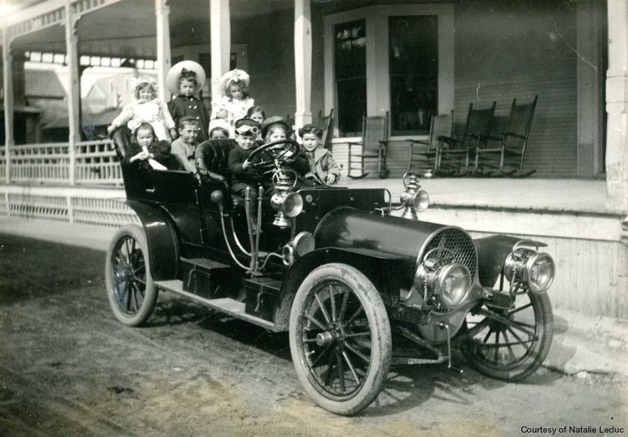
In July, 1902, an automobile reached the central Adirondacks for the first time, arriving in Saranac Lake. This event marked a significant change in transportation accessibility that led to increased tourism in the Adirondacks. Car travel made the Adirondacks a more desirable place for vacations and leisure.